Blank US Map for 4th of July Geography
Coloring guide
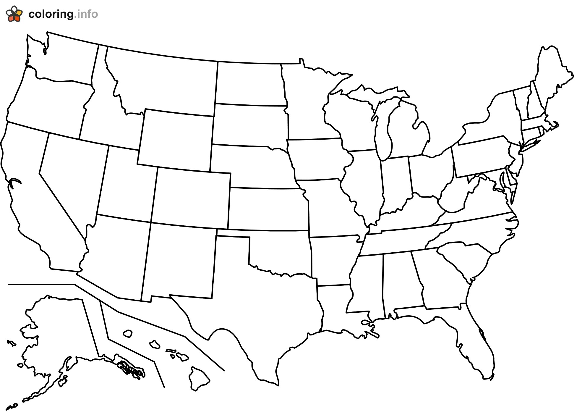
A black outline map of the lower 48 United States shows every state border with no names, labels, or colors filled in. Alaska and Hawaii sit in the bottom left corner, each placed below a set of thin lines that separate them from the main map. Jagged coastlines trace Florida, the Great Lakes, Cape Cod, and the Gulf Coast, and the straight lines of western states like Colorado, Wyoming, and Utah stand out as neat rectangles. For a Fourth of July lesson, kids can color each state a different shade while talking about the original thirteen colonies along the East Coast. Older students can pencil in state names or mark where they have traveled. This free printable works well for a classroom geography review or a patriotic afternoon at home.
More 4th of July Coloring Pages

Glowing Jagged Number 4 for Fourth of July Fireworks

Man in High Collar and Long Jacket Before Flag

Kids Watching 4th of July Fireworks From a Brick Ledge

Lady Liberty Raising a Big Flag for 4th of July

Heart Full of Flag for I Love America

Let Freedom Ring Flag Bell With Floppy Bow

Uncle Sam Hat Perched on a Giant Number 4

Little Heart Buddy Waving a Flag in Uncle Sam Hat